Bikepacking the Southern Edge of the Iberian System
A Collection of Scenes of a 5-day solo-ride
Pack up your bike. Say goodbye. Go. It's just you, your bike and endless gravel roads ahead. This route looks a lot like a mountain bike ride that uses pavement to connect stretches of dirt over rugged terrain. Buckle up! There's a lot of ground to cover.
Overview
Inspired in Marin Mountains 200k by San Francisco Randonneurs, this route will take you over 450km kilometers of dirt connected by paved roads. While unsupported, this ride is not meant to be a brevet. Therefore the lack of time constraints around it.
This route, in particular, begins and ends climbing both sides of the Sierra de la Calderona: Pico Tristán, Puerto Arenillas, and Puerto Chirivilla. Just getting to Barracas and climbing the edge of the Iberian Plateau, adds a total elevation gain around 1,700m to your legs.
I found it very pleasant to ride over 5-days and 4-nights along the Ojos Negros Rail Trail. Still challenging and fun. Cruising through the ruins of medieval castles, 5th century BC Iberian forts, and the more recently abandoned train stations of the old Ojos Negros mine train.
Crossing La Sierra Calderona towards Palancia River Basin
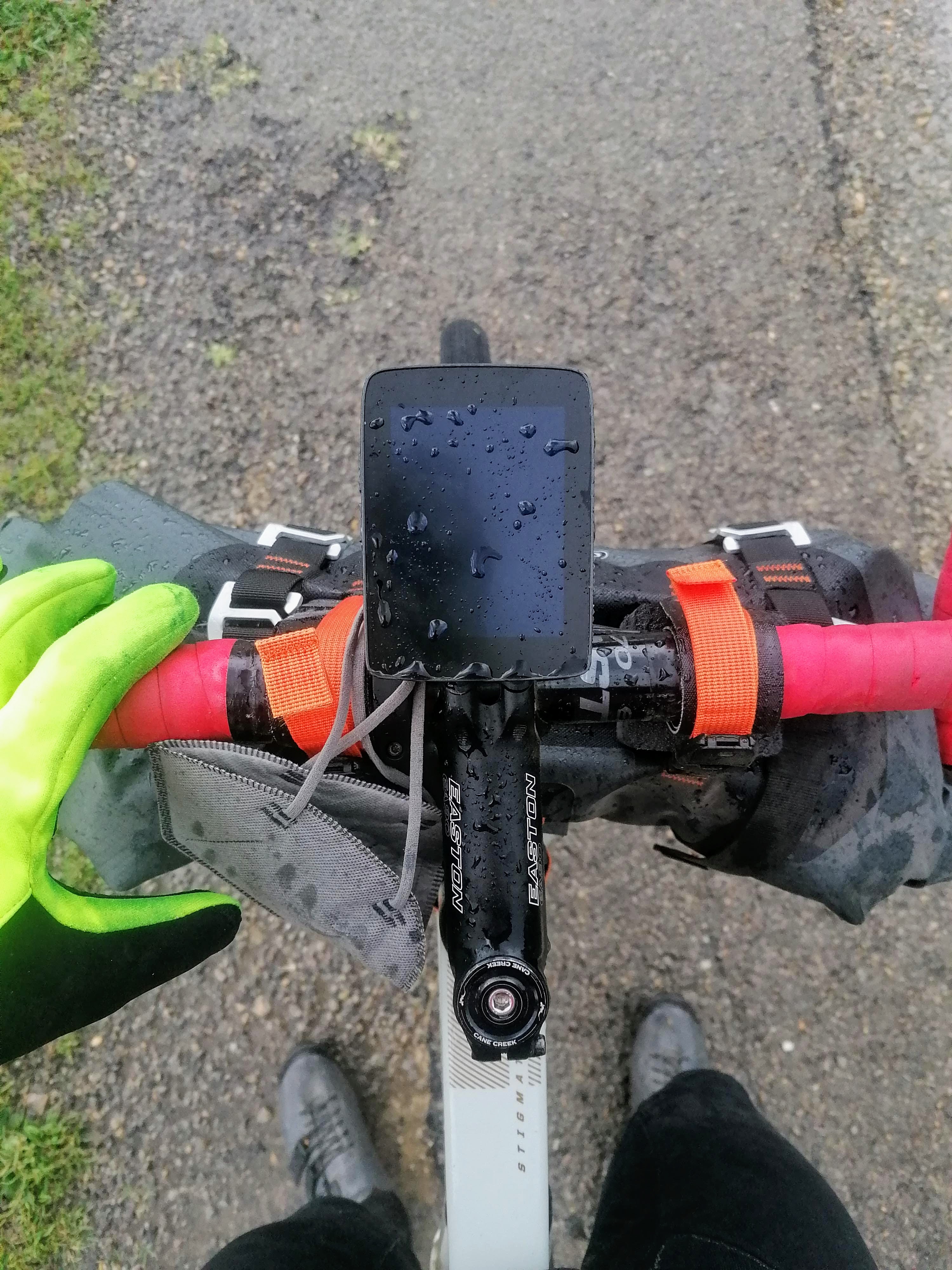
First-day jitters kick in. Definitely intoxicated by the combination of fear and excitement. A long, flat, paved road leads to Sierra Calderona: the first significant climb of the day. Heading North West, a dirt piste ascends to Pico Tristán from Portacoeli. The grade gets steeper closer to the summit.
For those familiar with the terrain in Marin County, California. La Sierra Calderona feels like the trails in Marin Headlans or Mt. Tam's Old Railroad grade. I can't wait to be back and ride the MCBC Dirt Fondo with Adam, Chad, and Josh.
The Conquest of the Rail Trail to Barracas
Rolling down gently the backside of the mountain. Cruising never-ending olive groves. The identifying feature of this route is a 183km rail trail: Vía Verde de Ojos Negros. It connects the city of Sagunto with Teruel over a 1,000m elevation slope. Winding its way along Sierra de la Calderona and Sierra de Espadán.
Enjoy a coffee. Comfort food. Stroll through tunnels carved into the rock. Swarm up El Ragudo ambushed by a storm that starts pouring hail and rain. Now, the gentle Palancia's river basin belongs to the past. Sitting at the top, dozens of wind turbines swing their blades. Guarding silently the Southern Plateau's most eastern edge.
First day is over. Likely after a few kilometers of Fun Type 2. Miserable while it happens, but fun in retrospect. Check in with the family: Yes, still in one piece. High-five your past-self for finding a hostel with a fireplace. I am soaked. Hungry too.
The Mud after the Storm
Kicking off the second day with the spirits of a truffle hunting pig. Quoting a local here when they saw me setting foot in a coffee shop. Last evening's downpour left segments of the trail covered in a few inches of fresh mud.
Multiple times had I stopped to remove the mud with my bare hands. A beautiful day with some clouds lingering around. Continuing the trail of abandoned train stations and tunnels. Crossed over a breathtaking bridge.
Been to Church today. Church of Dirt.
After a two-day long steady climb, we leave behind Pico Escandón. A very well deserved gentle downhill takes you to Teruel.
Arrival at Santa Eulalia Station
Teruel sits on the Iberian Plateu. The terrain is mostly flat around here besides being over 1,000m above the sea level. This time I left the bags in the hotel, and cruised light and fast to Santa Eulalia.
They haven't even removed the old tracks. Met a local, Pedro Fuertes who knows the area, the history of these landmarks, and the terrain like the back of his hand. As well as places to eat the delicious local food. And so it was time to get something to eat downtown.
A Hamlet in between Kingdoms
The most beautiful day of the ride. Heading East, left the rail trail near Venta del Aire, to get into this never-ending network of service roads on my way to my next stop: Montanejos.
Unexpectedly arrived to a hamlet. Mases y Tamboril lays at the foot of the remains of Castle of Pradas. Watching the centuries passing by in between the former Kingdom of Aragón and Kingdom of Valencia.
The roads tell a story of change of the people who lived here. The sound of the water swirling in a pond, muffling the rumbling engine of a truck in the distance. A forgotten bridge leading to the remains of a 13th century castle.
Up past Los Pastores and Caballero, I am pedaling East towards Montanejos. Back out on a paved road to face the last climb of the day. Relatively painless, while nursing a slow leak on my front tire. Once over the pass, with less wheel pressure than I wanted, followed a satisfying 300m descent to Arenós Reservoir. Finally reaching a place to rest and prepare for the home stretch.
Home Stretch
Wrapping up the journey with a bit over 90km and 1,600m elevation gain. Leaving Montanejos, headed to Caudiel. Still with a lot less pressure than I wanted on my tubeless tires, and definitely carrying too much weight in my bags.
It's sunny, cloudless weather, and many muddy puddles haven't dried out yet. It's an enjoyable arrival to Caudiel. Compared to 4 days ago, when I was ambushed by a storm pouring rain as if there were no tomorrow.
It's time to get cozy at home. Reconnect with the routine. Recover from the 5-day journey, and plan the next adventure.